Published - August 02, 2024 12:09 PM GMT - Christian Kelvin
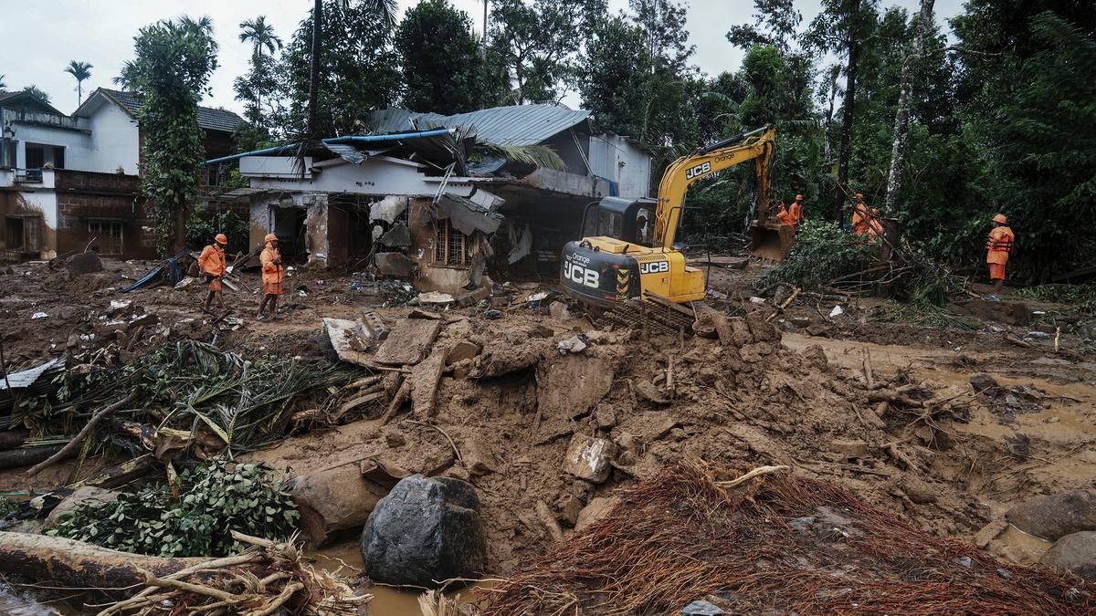
The devastating effects of the Wayanad landslides have exposed weaknesses in technological infrastructure for predicting and mitigating natural disasters. Congress MP Shashi Tharoor emphasized the challenges in predicting landslides, pointing out the limitations of remote sensing technologies.
He stated, "We heavily rely on remote sensing, but experts say it's insufficient. We need on-ground sensor grids to anticipate landslides, which we lack. We require more real-time data collection."
Remote sensing employs deep learning and other methods to analyze a region's topological, hydrological, and geographic factors. Satellites capture detailed images of the area, which are then used to create maps and build predictive models. However, like other AI models, the outcomes are not guaranteed.
On-ground radar monitoring is an alternative, but it's expensive and typically only used in mining or road construction. Kumar suggests that certain vulnerable slopes should be off-limits due to the high cost of monitoring, but human settlements and interventions often hinder this approach.